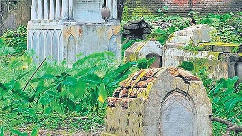

HYDERABAD: The Cyberabad Municipal Corporation (CMC) has proposed a comprehensive GIS-enabled mapping of all graveyards, burial grounds and cremation facilities within its jurisdiction, in what officials describe as a first-of-its-kind initiative in Telangana.
It is aimed at creating a centralised digital inventory of these facilities, irrespective of religion, community or mode of last rites. It will cover traditional graveyards, burial grounds, cemeteries, conventional and electric crematoriums, combined burial-and-cremation complexes and other recognised community-specific facilities.
Following the merger of surrounding municipal corporations and municipalities earlier this year, the expanded CMC does not have a consolidated record of such facilities. The proposed survey will document their location, extent, ownership, infrastructure and existing condition.
The civic body plans to engage specialised agencies to conduct the GIS-based survey, prepare an asset inventory and develop a dedicated web-GIS platform. The system will allow officials to access, update and monitor facility-wise information through a centralised database.
The selected agency will collect existing records from the CMC, revenue, waqf and endowments authorities and other departments. It will identify the facilities, geo-reference their locations and map their boundaries according to wards, circles and zones.
The survey will also document internal layouts and amenities, including burial plots, pathways, boundary walls, entrances, buildings, water supply, toilets, lighting and parking facilities.
Officials said the database would help identify encroachments, infrastructure gaps and areas facing capacity constraints. It would also help the CMC plan upgrades and expansion and improve the maintenance of these facilities across its expanded jurisdiction.
