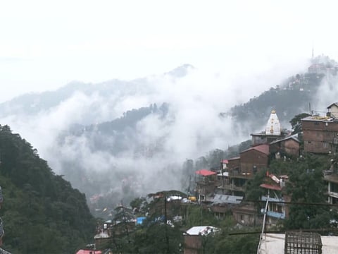

One of the most landslide-prone road corridors in Himachal Pradesh, the Chandigarh-Shimla highway (NH-5) witnesses landslides every year during the monsoon season.
The phenomenon of frequent landslides along this crucial highway was mapped by geologists along the 45-kilometre Solan-Shimla stretch, and the results were astonishing: nearly 60 per cent of this stretch falls under the moderate to very high susceptibility categories. The area predominantly falls under seismic Zone IV, making it susceptible to earthquake-related hazards, including landslides.
The highway connects Shimla with Chandigarh. Earlier a single-lane road, it has been widened into a four-lane dual carriageway and serves as a crucial supply route for food, fuel and other essential commodities to Kinnaur and remote border areas.
A study published by Springer Nature on August 24 and conducted by researchers from Kurukshetra University, Banaras Hindu University, Netaji Subhash University of Technology, New Delhi, and NIIT University, Neemrana, states: “Human-induced activities, particularly road widening in the study region, hasten slope failure conditions due to geo-scientifically poorly assessed slopes and toe removal, which disturb the natural equilibrium of slopes and reduce their stability.”
Some 48 landslides along the stretch were mapped in the study. Landslide susceptibility mapping conducted by geologists along the Solan-Shimla highway highlighted the region’s vulnerability to slope failures. It found that 12.83 per cent of the study area falls under the very high susceptibility category, while 21.97 per cent is highly susceptible and 26.58 per cent is moderately susceptible. Around 24 per cent of the stretch falls under the low susceptibility category and 14.57 per cent under the very low susceptibility category.
The study noted that the Himalayan region has been witnessing a higher frequency of landslides compared with other mountain regions and attributed the vulnerability to the region’s high relative relief, steep slopes, unstable geological structures and immature topography, with heavy monsoon precipitation acting as a major triggering factor.
The researchers also identified extensive deforestation, infrastructure development, intensive cultivation and slope modification as major human-induced factors contributing to landslide occurrence in mountainous areas.
According to the study, India accounts for nearly 15 per cent of reported landslide occurrences globally and around 31 per cent of related fatalities. Around 3.1 lakh square kilometres of landslide-prone area in the Indian subcontinent lies within the Himalayan belt.
This year, the National Highways Authority of India (NHAI) installed a slope drainage pipe system at 83 vulnerable points along the 85-km-long Kalka-Shimla section of the highway as part of an ongoing slope stabilisation project being carried out between Parwanoo and Kathlighat. The drainage system was conceived after slope protection measures undertaken earlier failed to fully address the problem of rainwater runoff during intense monsoon seasons.
The drainage system involves the construction of small water collection points at the top of hillsides. These collection points are connected to a network of pipes and cement-lined drains that channel rainwater directly to the bottom of the slope. The objective is to prevent water from flowing freely over the slope surface, which often triggers soil erosion, damages protective structures and leads to landslides.
Locals Raise Flood Concerns Over Heliport Construction in Barotiwala, Solan
Construction of a heliport by the State Tourism Department at a sports ground in Barotiwala in Solan district has triggered concern among locals, who allege that the project has altered the flow of a nearby river and increased the risk of flooding across around 20 bighas of land.
They claim that a boundary wall constructed around the heliport has restricted the natural flow of the river during the monsoon, forcing water towards residential and commercial areas between the heliport and the Barotiwala market. They also allege that several houses, shops and agricultural properties are now vulnerable as the water level in the river rises during each monsoon.
