Helen, which intensified into a severe cyclonic storm Thursday, is likely to cross the coast at Machilipatnam in Krishna district Friday afternoon or evening. Its impact will mainly be felt in Krishna, Guntur and West Godavari districts.
Under its influence, rainfall at most places with heavy to very heavy rainfall at a few places will occur over Coastal Andhra. Isolated extremely heavy rainfall of up to 25 cm or more will occur over South Coastal Andhra. Rainfall is also likely in Rayalaseema and Mahbubnagar and Nalgonda districts in Telangana.
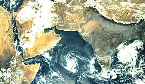
According to the Indian Meteorological Department, Helen lay centred at about 180 km east-southeast of Machillipatnam on Thursday night. Squally winds with speeds reaching up to 75 kmph will prevail along and off the south coast. The wind speed will gradually touch 100-110 kmph, gusting up to 120 kmph at the time of landfall.
The department warned that storm surge of about 1-1.5 m above astronomical tide will inundate low-lying areas in Nellore, Prakasam, Guntur and Krishna districts at the time of landfall. The State government has put the administrative machinery in coastal areas on high alert. Revenue Minister N Raghuveera Reddy held a video conference with district collectors and directed them to shift people from low-lying areas. Chief Secretary PK Mohanty said officials had a fairly good idea about the cyclone, but regretted the absence of an early warning system on flash floods.
He directed the district collectors not to sanction leaves to any officials in districts that are in the path of the cyclone. A chopper stationed in Nellore will fly to Vijayawada to help people in Amalapuram, Narsapuram and Machilipatnam areas. Additional NDRF teams along with SDRF teams would be deployed in Krishna district, the Chief Secretary said.
