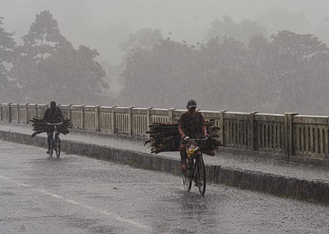

VISAKHAPATNAM: After two successive severe cyclones hit the Andhra Pradesh coast, another low-pressure area is likely to form over the southeast Bay of Bengal around November 13, raising the possibility of fresh rainfall in parts of the State in the coming days.
According to the India Meteorological Department (IMD), a cyclonic circulation currently lies over the south Andaman Sea and adjoining areas, extending up to 5.8 km above mean sea level.
Under its influence, a low-pressure area is likely to form over the southeast Bay of Bengal on Friday. It is expected to move northwestwards and intensify into a well-marked low-pressure area during the subsequent 24 hours. The Andhra Pradesh State Disaster Management Authority (APSDMA) said the system could further intensify into a depression over the same region by Sunday.
APSDMA Managing Director and RTGS CEO Prakhar Jain said the sea is likely to remain rough from Saturday to Tuesday, and advised fishermen not to venture into the southeast, southwest and central Bay of Bengal during this period.
Other weather models indicate the possibility of the system intensifying further over the southwest Bay of Bengal around November 15. However, officials noted that its likely track and impact on the State are yet to be established.
The system may bring rainfall to some parts of Andhra Pradesh, though the extent and distribution of rainfall remain uncertain.
