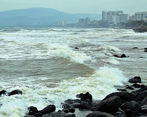

VISAKHAPATNAM: The successive northward shifts in Cyclone Akvan’s projected landfall are linked to changes in the Bay of Bengal’s atmospheric and oceanic conditions following two cyclones that affected the region earlier this month, besides the influence of two opposing high-pressure systems, according to KSR Murthy, former scientist at the National Institute of Oceanography (NIO).
Explaining the factors behind the cyclone’s uncertain movement, he said the two preceding cyclones had brought significant changes in temperature, heat distribution and moisture content over the Bay of Bengal, leaving the ocean-atmosphere system disturbed.
Akvan is also positioned between two high-pressure systems, one over the Bay of Bengal and the other over the Arabian Sea, with the opposing influences affecting its movement. These conditions have contributed to its slow progress and fluctuations in its projected track, making it difficult to accurately forecast its direction and speed.
He said the evolving conditions made it important to follow frequent weather updates rather than rely solely on the initial forecast, as the cyclone’s movement could be influenced by changes in the surrounding atmospheric systems.
The third cyclone to develop in the Bay of Bengal in 2026, Akvan was initially forecast to cross the Andhra Pradesh coast between Nellore and Tuni.
Cyclone preparedness stepped up in Srikakulam, Vizianagaram dists
The India Meteorological Department (IMD) subsequently revised the likely crossing zone to between Nellore and Visakhapatnam, with the system initially expected to intensify into a very severe cyclonic storm. As it continued moving north-northwestwards, the projected landfall corridor shifted further north, first to between Machilipatnam and Puri and now to between Narsapur and Puri, close to Gopalpur in Odisha, by noon on Friday (November 20).
The changing projections have also been accompanied by differences among numerical weather prediction models over the system’s future movement and intensification. While the IMD has retained its forecast of Akvan crossing the coast as a severe cyclonic storm, some global and artificial intelligence-based models have indicated the possibility of considerable weakening before landfall. Its relatively slow movement and limited intensification have added to the forecasting uncertainty.
The revised track has brought some relief to Andhra Pradesh, with the cyclone now expected to have a relatively limited impact on the State, primarily affecting three north coastal districts. The IMD has narrowed its red alert for isolated extremely heavy rainfall on Thursday (November 19) to Srikakulam, Vizianagaram and Parvathipuram Manyam districts. Earlier, seven districts - Kakinada, Srikakulam, Vizianagaram, Parvathipuram Manyam, Visakhapatnam, Alluri Sitarama Raju and Anakapalli - were under red alert for November 19 and 20.
There is no red alert for any district in Andhra Pradesh on Friday, when the system is expected to cross the coast near Gopalpur. However, an orange alert for heavy to very heavy rainfall has been issued for Srikakulam and Parvathipuram Manyam districts. Isolated places in Visakhapatnam, Vizianagaram and ASR districts may also receive heavy rainfall.
According to the latest IMD bulletin, Akvan moved northwards at 13 kmph during the six hours preceding the bulletin, and lay centred over the westcentral Bay of Bengal. It was about 390 km east-southeast of Narsapur, 320 km south-southeast of Kalingapatnam, 410 km south of Gopalpur and 470 km south of Puri. The system is likely to continue moving north-northwestwards and cross the North Andhra Pradesh, Yanam and South Odisha coasts between Narsapur and Puri, close to Gopalpur, by noon on Friday, with maximum sustained wind speeds of 90-100 kmph, gusting to 110 kmph. Meanwhile, parts of north coastal Andhra Pradesh experienced showers on Thursday. Gale winds reaching 60-80 kmph prevailed at isolated places along the Andhra Pradesh coast and Yanam, with the wind intensity likely to increase on Friday.
The administrations of Srikakulam and Vizianagaram districts have stepped up preparedness, particularly in vulnerable coastal and low-lying areas. Officials have visited villages along the Andhra Pradesh-Odisha border.
