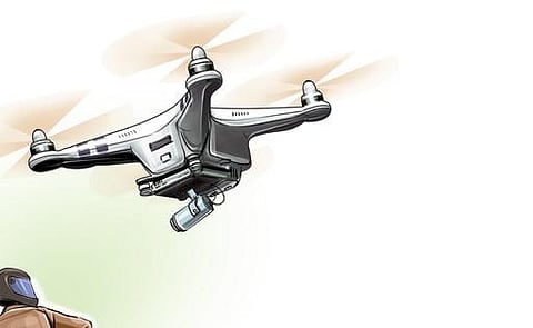
BENGALURU: Bengaluru-based drone technology startup, Aereo (formerly known as Aarav Unmanned Systems) will be part of the largest-ever drone-based land parcel mapping project in the world.
Allterra and NeoGeo, two geospatial organisations, won the land parcel mapping contract through open tender process from the Karnataka state government.
“This is a landmark project for India and the drone industry. Large-scale mapping is the need of the hour to fast-track the digitisation of land records in urban and rural areas. Through our drone solutions, we aim to deliver immense value to our partners and enable the state government to create ultra-high resolution digital survey maps that have multi-sector applications,” said Vipal Singh, co-founder and CEO of Aereo.
The two organisations have enlisted the help of Aereo in mapping 86,000 sq kms, which includes ten districts in Karnataka.
These include Gadag, Koppal, Chamarajanagar, Chikkamagaluru, Vijayapura, Yadgir, Raichur, Bidar and Kalaburagi. The drone company will deploy 60 survey-grade post-processed kinematic (PPK) drones, which will cover an approximate area of 1.75 lakh acres a day on average.
The project was kickstarted in March 2023 and is expected to complete by March 2024. “It is the biggest land parcel mapping project in the world. We will collect high-resolution GIS data, process and deliver it at high-quality standards in the defined time frame. This data will essentially improve the lives of people living in these areas,” said G V Sreeramam, CEO of NeoGeo.
