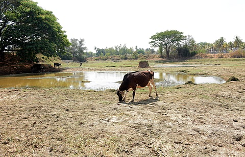

BENGALURU: The State Government has directed all deputy commissioners and CEOs of zilla panchayats to complete a survey (ground truthing) of taluks which have received less than 60% of the normal rainfall and received no rainfall for three consecutive weeks, within a week.
As per Karnataka State Natural Disaster Monitoring Centre (KSNDMC) data, of the 239 taluks, 121 are under the rain deficit category and 11 under the severe deficit category.
Chief Secretary Shalini Rajneesh has directed district-level officials to conduct a field-level verification and submit proposals to the revenue department to prepare a list of drought-hit areas as per government norms.
In a letter, she instructed the officials to identify places that have received less than 60% of the normal rainfall and have received no rainfall for three consecutive weeks.
This action has been initiated based on the directives of the chief minister and the deputy chief minister.
Former KSNDMC Director Srinivas Reddy said that a region will be declared as drought-hit based on four key parameters. If three parameters are met, the region will be classified as drought hit. If the region meets two, it will come under the moderate drought category.
Reddy said the first parameter pertains to rainfall. If a region receives less than 60% of the normal rainfall, it will be classified as drought hit. A dry spell of three weeks during cropping season comes under this parameter.
The second parameter applies to areas where sowing is less than 75% of the normal area of cultivation. Soil moisture levels will also be assessed. Deficient soil moisture will be considered as a drought indicator.
Reddy said under the hydrological (third) parameter, the storage in reservoirs will be taken into consideration. The average level of the previous 10 years will be compared and if it is lower, it will be considered as a drought indicator. Similarly, the groundwater level will be compared with the average level of the previous 10 years.
The fourth parameter is the Normalised Difference Vegetation Index (NDVI), where satellite imagery is used to assess crop health. Poor vegetation and crop conditions reflected in the NDVI will be taken into consideration while determining the severity of drought. It will be classified as moderate or severe. If these parameters are met, only then the survey will be notified (which is nothing but field verification of sample villages).
Though the chief secretary has directed the officials to complete the survey within one week, experts from the disaster management department said it is too early to take it up.
“As per the Centre’s manual for drought management, it should be done in the last week of July or in the first week of August. At least 50% of the monsoon season should have been completed,’’ they said.
