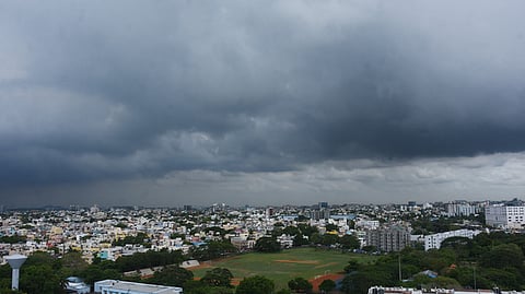

CHENNAI: The Bay of Bengal is set to witness the formation of its third cyclone within a month, with a low-pressure area over the southeast Bay likely to intensify into a cyclonic storm by November 16. However, there is no consensus yet on the direction the system will take after intensifying, leaving its eventual impact on the east coast uncertain.
V R Durai, director, Area Cyclone Warning Centre at Regional Meteorological Centre, told the TNIE: "As of now, the weather models indicate the cyclone would not come towards north Tamil Nadu coast. In all probability it will go towards north Andhra Pradesh and south Odisha. But, we will know the exact track only after the cyclone forms on November 16 evening."
According to the met office, the low-pressure area formed over the southeast Bay of Bengal at 5.30 am on Friday over the central Andaman Sea and adjoining Andaman and Nicobar Islands.
The system is very likely to move northwestwards and become a well-marked low-pressure area on November 14. It is expected to concentrate into a depression over the same region around the morning of November 15 before intensifying further into a cyclonic storm over the central Bay of Bengal by the evening of November 16.
The development comes amid an active northeast monsoon season, with successive weather systems forming over the Bay of Bengal in recent weeks. Meanwhile, Tamil Nadu is expected to see limited rainfall over the next few days. Light rain is likely at isolated places over the Western Ghats and north coastal districts, as well as Pondicherry and Karaikal on Saturday. From November 15, light to moderate rain is forecast at isolated places over the Western Ghats and southern districts. Moderate rain is likely at isolated places in Tenkasi, Thoothukudi, Tirunelveli and Kanyakumari districts on November 17 and 18.
Chennai is likely to experience partly cloudy skies and light rain in some areas with maximum temperatures of 32-33 degree Celsius and minimum temperatures around 24 degree Celsius.
