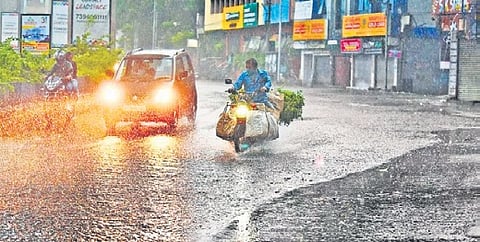

HYDERABAD: Moderate to heavy rains lashed the city on Sunday night, followed by light drizzles in several parts of the state on Monday. Over the last 24 hours, the highest rainfall was recorded in Metapally of Jagtial district at 7.7 cm, followed by Sangareddy at 7.1 cm and Shankarpalle in Rangareddy district at 7.08 cm.
Speaking to TNIE, a meteorologist from IMD Hyderabad stated that the current rainfall deficit stands at 30%. If there is insufficient rainfall until the first week of August, a drought-like situation could arise in a few districts.
The IMD has forecast heavy rain at isolated places across Telangana over the next three days, with many parts of the state expected to receive rainfall on Tuesday under the influence of a deep depression over the northwest Bay of Bengal. Gusty surface winds reaching speeds of 30-40 kmph are also likely across the state.
According to the IMD’s Meteorological Centre in Hyderabad, the low-pressure area over the northwest Bay of Bengal intensified into a deep depression at 5.30 am on Monday. As of 8.30 am, the system was centred over the northwest Bay, close to the West Bengal–North Odisha coast. It is expected to move north-northwestwards and cross the coast between Balasore in Odisha and Canning in West Bengal by Tuesday afternoon.
The Met department said the monsoon trough currently extends from Bikaner through Gwalior, Varanasi and Jamshedpur, passing through the centre of the deep depression before stretching southeastwards into the northeast Bay of Bengal. The prevailing weather system is expected to enhance monsoon activity over Telangana.
Rainfall activity is expected to reduce slightly thereafter, with showers likely at a few places on the second and third days.
