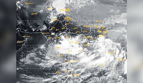
BHUBANESWAR: A low-pressure area formed over westcentral and adjoining northwest Bay of Bengal off north Andhra Pradesh and south Odisha on Wednesday and will likely trigger very heavy rains in parts of the state in the next 24 hours.
The India Meteorological Department (IMD) said the system is likely to move west-northwestwards and become well-marked during the next 24 hours. It is expected to move across north coastal Andhra Pradesh and south Odisha in the next 48 hours.
Under the influence of the system, heavy to very heavy rainfall (64.5 m to 204.4 mm) may occur in Malkangiri and Koraput districts on Thursday. Heavy rainfall (64.5 mm to 115.5 mm) is expected in Nabarangpur, Nuapada, Balangir, Bargarh, Sonepur, Boudh, Kalahandi and Kandhamal on Friday.
Director of Bhubaneswar Meteorological Centre Manorama Mohanty said, “Light to moderate rainfall or thundershower is likely to occur at many places in the state over the next six days.”
The met office has advised the fishermen to not venture into the sea along and off Odisha coasts till Friday.
