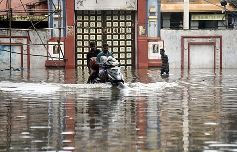

CHENNAI: The State government has started using the Real-Time Flood Forecasting System, which was under development for the past four years, on a pilot scale to generate more localised rainfall forecasts and moderate the outflows of reservoirs in the Chennai basin.
The Real-Time Flood Forecasting & Spatial Decision Support System (RTFF & SDSS), at a cost of Rs 71 crore, will be fully operationalised before next monsoon once the government finalises tenders and set-up the required number of Automatic Rain Gauges (ARGs), Automatic Weather Stations (AWS), Automatic Water Level Recorders (AWLR) and Gate Sensors (GS).
SA Raman, director of Tamil Nadu State Disaster Management Authority, told TNIE, “Currently, the forecasting system is integrating data sets from limited rainfall stations managed by Greater Chennai Corporation (GCC), metro water, PWD groundwater cell and water level recorders installed by IIT Madras. The system is piloted to forecast rainfall and river inflows.
The results are pretty useful. Within the next eight months, the proposed 86 ARGs, 14 AWS, 185 AWLRs and 58 GS will be established.” The coverage area of the forecasting system is the Chennai basin, which is spread across 5,000 sq km. The basin falls under Chennai, Kancheepuram, Tiruvallur, Chengalpattu, Ranipet and Vellore districts. The Chennai basin comprises six sub-basins - Kosasthalaiyar, Cooum, Adyar, Kovalam, Nandiyar and Nagariyar.
Tiruvallur Collector Alby John has already given a thumbs-up for the forecasting system saying the district administration was receiving periodic and timely information on rainfall forecast and inflow three days in advance.
On inundation forecasting, Raman said it was a work in progress. “Once, the network of rainfall measuring stations is strengthened real-time inundation forecasting can be done with a greater degree of accuracy,” the official said.
Balaji Narasimhan from the Department of Civil Engineering in IIT Madras, which is providing technical assistance and help to validate the forecasting system said, “To provide inundation forecasting, we need high-resolution topography data or digital elevation model. This job is entrusted with the Survey of India, which as of date has completed close to 50% of work using drones. Otherwise, the numeric models, framework and protocols are ready to carry out the forecasting.”
Narasimhan said, apart from flood mitigation and forecasting, other important projects like floodplains mapping, and assessing the effectiveness of stormwater drains can be carried out using this system post-monsoon. This ambitious project was being implemented under the Project Development Grand Fund managed by Tamil Nadu Urban Infrastructure Financial Services Limited (TNUIFSL). SECON Pvt Ltd, Bangalore and JBA Consulting, United Kingdom Joint Venture (SECON-JBA JV) are the consultants for the project.
As part of the project, multiple flood modelling control rooms in all the district collectorates of the Chennai basin and a hydro modelling control room, which will be the nerve centre at the State Emergency Operation Centre, are being established.
ALSO WATCH |