CHENNAI: The Greater Chennai City Police (GCP) on Tuesday launched Geographic Information System (GIS) mapping of crime zones. The data generated through GIS mapping will help police make informed decisions, said the city police commissioner Shankar Jiwal.
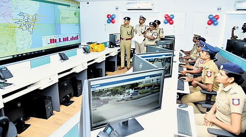
Commissioner Jiwal inaugurated the new initiative at the integrated command and control room at the commissionerate in Vepery. A special GIS centre has been established and equipped with the latest GIS software tools and technologies that help in the normalisation and compilation of data from Crime and Criminal Tracking Network & Systems (CCTNS), daily service registers, daily incident reports and other critical data sets from GCC, Social Welfare Department.
“All critical establishments such as women and child support centres, education centres, pink toilets, streetlights, markets and other sensitive areas are marked,” said Jiwal. More than 60,000 crime records between 2016-2022 from CCTNS, daily service registers have been mapped to their precise locations, through more than 300 trained police personnel.
The police said that the new system will help them in the identification of roadside facilities like bus stands, shopping areas, and parking locations which are prone to snatching and theft, identification of prominent clusters in the city having crime records against women and children with the help of historical crime records and reported incidents.
