NEW DELHI: The capital witnessed extreme temperature fluctuations over the past week, with sudden shifts between unseasonal warmth and winter-like chill.
On February 27, the minimum temperature was arround 20°C, resembling early summer, but by March 5, parts of the city, including Palam, saw temperatures drop below 10°C.
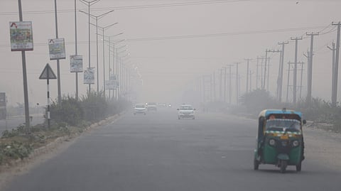
Meteorologists have attributed this sudden dip to strong westerly winds, reaching speeds of up to 40 km/h, carrying icy air from the snow-covered Himalayas. This cold spell is expected to persist until March 6, after which temperatures will gradually rise again.
The city had experienced unusually warm conditions in late February. On February 26, the maximum temperature peaked to 32.4°C, the highest of the season.
However, a western disturbance on February 27 triggered a sharp temperature drop. On March 3, Delhi recorded a minimum of 9.6°C, marking a dramatic 10-degree plunge in just four days.
Despite chilly nights, daytime temperatures remained quite high, with the mercury reaching 31.1°C the same day. This created an extreme variation of more than 21°C between day and night.
March typically signals the onset of summer in Delhi, and forecasts predict that overall temperatures will remain above normal this year.