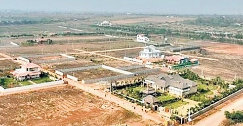
NEW DELHI: The Delhi government has undertaken an initiative to issue an ‘Aadhaar’ for every parcel of land in the Capital. Under this, each land parcel will get a 14-digit Unique Land Parcel Identification Number (ULPIN).
This step forms part of the government’s move to modernise the city’s land records and freeing citizens from long-standing land disputes. The system is also referred to as ‘Bhu Aadhaar’.
Describing the system as highly beneficial, CM Rekha Gupta said that it is not merely a number but a step towards the vision of ‘Digital India’ on the ground.
The CM elaborated that the need to implement this system in Delhi had long been felt. The scheme originates with the Ministry of Rural Development and the Department of Land Resources, and is particularly significant for the Capital.
According to Gupta, although the scheme was introduced in 2016, it could not be implemented in Delhi due to various reasons. It is now being taken up in mission mode by the IT Branch of the Revenue Department, which will also receive support from the Survey of India.
The CM highlighted the extensive benefits stating that the 14-digit code will be georeferenced, thereby minimising disputes over land boundaries. For citizens, the greatest benefit will be ease and convenience. Instead of navigating multiple documents to establish land ownership, a single number will provide comprehensive details of the property.
Advanced technology is being deployed for the implementation of this scheme. Approximately 2 terabytes of high-quality geospatial data and drone-based Ortho Rectified Images (ORI) are being obtained from the Survey of India. Through this data, accurate ULPINs will be generated for all areas of Delhi, including 48 villages already covered under the SVAMITVA scheme.
Earlier, Rs 13.207 million had been allocated for the project, with financial management overseen by the IT Branch. The government will now expand the system across Delhi in a phased manner under a Standard Operating Procedure with defined timelines.