
NEW DELHI: India has drawn a clear line on the depiction of its territory, stressing that Jammu and Kashmir and Ladakh must be shown in accordance with the country’s official map after it backed a United Nations General Assembly resolution seeking to correct distortions, including the relative size of the African continent, on commonly used world maps.
The External Affairs Ministry on Sunday clarified that India’s vote in favour of the resolution did not amount to an endorsement of any particular map, projection or representation of national boundaries.
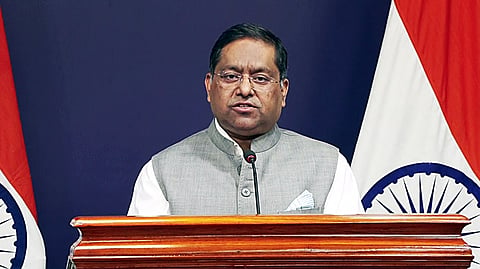
“India’s sovereign territory, including the Union Territories of Jammu and Kashmir and Ladakh, must be depicted in accordance with India’s official map,” MEA spokesperson Randhir Jaiswal said in a statement.
“Any inaccurate or misleading depiction is unacceptable. Our position on India’s sovereignty and territorial integrity is clear, consistent and non-negotiable.”
The clarification assumes significance because the UN initiative has prompted a broader discussion over how the world is represented on maps, including the relative size of continents and the way territories and boundaries are depicted.
India stressed that the resolution does not seek to settle questions of political cartography.
“The resolution neither adopts nor authenticates any particular world map, nor does it address political cartography, including international boundaries, disputed territories or place names,” the statement said. It added that India’s vote “does not constitute endorsement of any specific map, projection, or depiction of national boundaries.”
New Delhi’s position follows its explanation of vote at the United Nations General Assembly, when it supported the broader principle of using equal-area map projections but explicitly distanced itself from endorsing the Equal Earth projection.
Indian diplomat Raghoo Puri had said, “We believe that the resolution should be understood as supporting the broader use and consideration of equal-area map projections and not as endorsing the Equal Earth projection, or any other specific map projection.”
Puri said equal-area projections were relevant because they preserve the relative size of continental and territorial landmasses, helping address distortions created by projections that prioritise characteristics such as shape, direction or distance.
“At the same time, different projections serve different cartographic purposes. No single projection is necessarily appropriate for every application,” he said, arguing that the resolution should remain “technologically and methodologically neutral” and allow countries, institutions and cartographers to choose the projection most appropriate for their particular needs.
The resolution, titled “Correct the Map: Rebalancing Global Cartographic Representation and Promoting Equitable Representation of the World’s Regions, Particularly Africa,” was sponsored by Togo and adopted by the General Assembly with overwhelming support. A total of 164 countries voted in favour, while the United States was the sole country to vote against. Estonia, Georgia, Lithuania, Moldova, Serbia and Ukraine abstained.
The resolution does not prohibit the use of the Mercator projection or require countries to replace existing maps. Instead, it encourages governments, schools, international organisations and technology companies to consider equal-area projections where accurately representing the relative size of landmasses is important.
The debate centres on the Mercator projection, developed by Flemish cartographer Gerardus Mercator in 1569 primarily for navigation. While the projection preserves direction, it significantly exaggerates the apparent size of landmasses farther from the Equator. The UN-backed initiative seeks to encourage alternatives that provide a more proportionate representation of land area.
