For better planning and monitoring of government projects, the Indian Space Research Organisation (ISRO) launched the Bhuvan Panchayat web portal's version 3.0. For the first time, a thematic data base on a 1:10,00 scale for the entire country is available with integrated high resolution satellite data for planning.
In the project that will last for at least two years, ISRO will collaborate with the gram panchayat members and stakeholders to understand their data requirements. The third version of the portal will provide database visualisation and services for the benefit of panchayat members, among others. The project is meant to provide geo-spatial services to aid gram panchayat development planning process of the Ministry of Panchayati Raj.
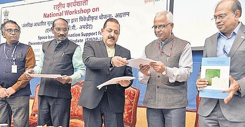
Jitendra Singh, Minister Of State in the Prime Minister's Office, launched the programme. “This kind of technical empowerment benefits officers dedicated to the rural development ministry. It’s a proud moment to be associated with ISRO in its most interesting time. ISRO and the Department of Science & Technology will be an essential tool in making of Modi's new India," he said.
ISRO chairman K Sivan said that information on land and water was needed for grassroot level planning. "The space-based information support for decentralised planning programme was taken up in 2011 to empower panchayati raj institutions and its stake-holders to enable participatory and decentralised planning in the country," he added.
Taking advantage of information and communication technology, the Bhuvan Panchayat web portal was launched for visualisation, planning and monitoring of schemes at panchayat levels.
State remote sensing centres and MOPR are rendering their expert support to build a scientific information base for gram panchayat level planning, he added. The new portal has a higher resolution and about 47 parameters in total, said one of the officials attending the session.
