DEHRADUN: Joshimath, an ancient town adjacent to the border district, which has been hit by a natural disaster, is finding it difficult to recover from this crisis at the moment.
In a major revelation, scientists have found that a large part of Joshimath, which is facing land sinking issues, has become hollow. "A huge amount of soil has been washed away with water. So far, cracks ranging from 40 to 50 meters deep have been found inside the ground at about 460 places."
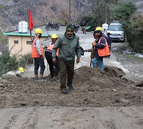
Disaster management officials believe that in such a situation, 30 percent of the area affected by landslides can collapse at any time. Therefore, there is no option but to immediately displace the nearly 4000 affected people settled in this area." Buildings with cracks will have to be demolished soon.
On the other hand, Joshimath residents took out a huge public awareness rally on Friday against the National Thermal Power Corporation (NTPC) project. Hundreds of disaster-hit people, including traders, took to the streets and raised slogans of 'NTPC go back, go back'. There was also anger against the government, the road leading to NTPC township from TCP Bazar was tightly guarded by the police in view of security. The area of the NTPC project office has been converted into a cantonment due to security reasons.
The National Institute of Hydrology team has found in its findings that, "Land submergence in Joshimath gradually increased on the night of January 2. Meanwhile, muddy water started seeping from the hilly area behind the JP company's residential colony, which still remains a puzzle for administrative officials and scientists".
In the last 23 days, about 2,21,40 thousand liters of water has leaked inside the ground. This amount of water is equivalent to a large lake.
The most shocking report on water leakage is from the National Geophysical Research Institute, Hyderabad. The report says, "Joshimath's sloping mountain is built on a pile of debris, the soil that was covered with stones has been washed away in the water. The lower part of the stones has become hollow. Therefore, the ability to bear loads is gradually disappearing". At the same time, CBRI has seen three sites for displacement.
This has been revealed from the preliminary report of the central investigating agencies. The report has been submitted to the National Disaster Management Authority (NDMA). According to sources, the NDMA has already made a presentation in the Union Home Ministry on Wednesday. Scientists believe that after the final report of the investigation, the picture of Joshimath can be more 'frightening'. Because sooner or later the entire Joshimath will be hit by it.
According to sources, the survey found that there are 2500 houses in the land submergence area, in which 4000 people living are affected. At the same time, 30 percent of the buildings with cracks have been recommended to be demolished immediately. While it has also been suggested to explore the possibility of retrofitting the rest of the buildings.
The government is giving top importance to the opinion of scientists as well as the interests of the affected, a detailed blueprint is being prepared for this," the state cabinet and minister in charge of Joshimath, Dr Dhan Singh Rawat, told The New Indian Express.
"The government is fully sensitive to setting up new cities and compensation for the displaced and they will be rehabilitated as per the opinion of the affected people."
Departments and institutes involved in saving Joshimath
1. Central Building Research Institute (CBRI) has been assigned for the construction of pre-fabricated model buildings for temporary rehabilitation, inspection of broken buildings as well as demolition.
2. The Wadia Institute of Himalayan Geology: Seismology Geophysical Analysis as well as the Geophysical Survey are to submit their final report to the institute in two months.
3. IIT Roorkee: A geotechnical survey is being conducted at Joshimath by IIT Roorkee. In this study, the scientists of the institute will find out what is the position of soil and stones in the geology of Joshimath. What is its load bearing capacity.
4. NGRI, Hyderabad: A geological map up to a depth of 30 to 50 meters in Joshimath will be prepared with geophysical and geotechnical survey work. It has to submit its final report to the government in three weeks.
5. National Institute of Hydrology (NIH): Conducting hydrological surveys in the affected area. The institute team will prepare a complete map of the water flowing in the ground here.
6. Geological Survey of India (GSI): To conduct geological study of land selected for land survey and rehabilitation of affected area in Joshimath.
7. Central Ground Water Board (CGWB): Will ascertain the direction and position of spring water and its flow below the ground.
8. Indian Institute of Remote Sensing (IIRS): The ground movement of Joshimath is constantly being monitored. The institute will submit the final report to the government in three months.
