LUCKNOW: The Uttar Pradesh government is planning separate budget allocations to develop mini-forests in urban areas, aiming to boost green cover and combat the rising urban heat island effect in major cities.
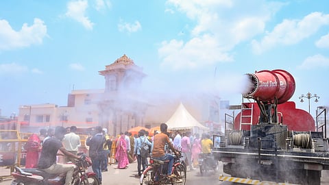
The urban heat island effect is a phenomenon where higher temperature is experienced in urban areas as compared to rural surroundings.
As part of Upvan Scheme, 17 municipal corporations across the state have been given a free hand to infuse up to Rs 3 crore to develop green zones over an area of 2,000 sq mt under their jurisdiction. State Finance Department has created a corpus of Rs 70 crore to dole out funds to urban local bodies for the fiscal year 2025-26.
As per the official sources, the amount allocated to civic bodies would be utilised to address the severe heat wave-like conditions in urban areas during the extreme summers.
According to the principal secretary, urban development, Amrit Abhijat, the need to mitigate the risk in densely populated areas had become essential. He lays stress on urban planning in a manner so as to create additional green space and cooling strategies to promote sustainable development in cities.
In its research report presented to the state government in July, 2024, the Uttar Pradesh State Disaster Management Authority (SDMA) urged the authorities to curate preventive measures to bring down the impact of heat-related incidents within the urban part of the state after carrying out district-wise analysis.
Stating that the rapid urban growth in cities such as Lucknow, Kanpur, and Prayagraj had given rise to urban heat islands, the study emphasised the need to prioritise green spaces, sustainable infrastructure, and climate-smart urban planning.
A dense urban forest planting methodology, introducing Miyawaki forests, could be the first step for the key civic bodies to lower surface temperatures.
Officials said that the studies conducted by independent research scholars and educational institutes over cities in the state were going to be analysed, and the help of experts would be taken to conduct GIS (geographical information system) based studies and collate remotely sensed thermal data to zero in on locations which require intervention.