NEW DELHI: A new study of 11 Western Himalayan districts shows that most of Himachal Pradesh’s districts are the most vulnerable to avalanches, followed by districts of Uttarakhand.
The study indicates that man-made activities, including the rapid construction of roads, dams, and tunnels and the regular movement of heavy vehicles, are the reasons behind the increasing incidents of avalanches.
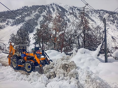
Earlier this month, an avalanche hit a Border Roads Organisation camp in the village of Mana, located in Chamoli, killing eight workers.
The Indian Institute of Science Education and Research (IISER), based in Bhopal, analysed the Indian Western Himalayas (IWH), which showed that Lahaul and Spiti are the most vulnerable to avalanches in Himachal Pradesh, while Chamoli is the most vulnerable in Uttarakhand.
The study, ‘A multi‐aggregation approach to estimate avalanche vulnerability and suggest phase‐wise adaptation,’ attributed increased avalanches in the IWH to multiple factors, such as climate change, complex terrain, and increasing human activities.
To measure the increasing risks, researchers Akshay Singhal, M. Kavya, and Sanjeev K. Jha of IISER developed a district-level avalanche vulnerability framework—the Combined Avalanche Vulnerability Index (CAVI) in the IWH—that considers all major meteorological, topographical, and anthropogenic factors.
Results from CAVI show that Lahaul and Spiti are the most exposed districts (0.85), Shimla is the most sensitive, and Rudraprayag (0.3) is the least adaptive district to avalanches.
Moreover, three out of five districts of Himachal Pradesh are highly vulnerable to avalanches, while five out of six districts of Uttarakhand are moderately vulnerable. Overall, Lahaul and Spiti is the most vulnerable district, while Shimla the most sensitive, and Pauri Garhwal are the least vulnerable district.
The study provides an inclusive characterisation of avalanche-prone regions, supported by a phase-wise adaptation plan to mitigate potential risks.
“The outcomes will be helpful to disaster mitigation agencies, emergency departments, avalanche forecasters and agencies related to recreational activities,” said Jha.
The team also assessed each of the 11 districts' avalanche risk based on exposure, sensitivity, and adaptive capacity. The authors explained that meteorological factors, such as rainfall, snow depth, and temperature, contribute to a district's 'exposure' to avalanches, while slope and population affect 'sensitivity'.
Socio-economic factors, such as literacy, hospitals, forests, and houses with concrete walls, help determine a district's population's capacity to adapt to an increased avalanche risk.
Avalanches are estimated to cause about 30-40 deaths each year and often have disruptive impacts, from blocking critical transport routes to damaging infrastructure.
While avalanche risk is largely attributed to weather, climate, and terrain, it has also increased due to human activities, including the rapid construction of roads, dams, and tunnels and the regular movement of heavy vehicles, the authors said.