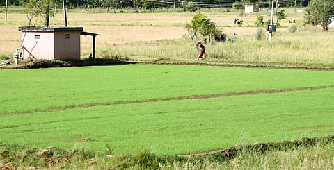
BENGALURU: Several farmers cultivating around 140 acres in three villages in Channapatna taluk of Bengaluru South District are left in the lurch as they are unable to make partition of the lands among legal heirs or transfer or sale those lands, as they are not able to get ‘phodi and durasth’ of those lands since the time of their forefathers.
The reason is that the original record of the land bearing Sy. No.1 of Kadukotthanahalli plantation in the taluk office at Channapatna is not available. Also, the ‘Aakarband’ and survey sketch of the land in question are not available in the office of Survey Settlement and Land Records at Ramanagara.
Stating that most of those lands were purchased in an auction in 1928 and some of those lands were granted by the government under various schemes for downtrodden or landless farmers, the farmers say that their names are reflected in RTCs and the entire parcel of respective land is transferred from generation to generation on ‘Pauti Khata’ but they are not able to make partition among the family members because of a lack of ‘phodi and durasth’.
The farmers stated that they have been cultivating around 140 acres of land coming under the jurisdiction of ‘Plantation at Kadukotthanahalli’ as per land records. Stating that they are the rightful owners of those lands spread in three villages -- Matthikere, Sankalagere and Belakere -- of Channapatna taluk, they said that some of those lands were purchased in 1928 in an auction, and some of the lands allotted to Dalits.
The farmers admitted that original records were not found with anyone’s name among them, and there are RTCs in individuals’ names, but there is a village map available for the lands in question, which lacks specific information about ‘phodi and durasth’.
“There are no differences or disputes among our family members to cultivate the land, but we cannot partition the land on record because of no ‘phodi and durasth’, leading to no sketch of the land”, a land owner said.
The records date back to 1963, showing that the Commissioner of Land Revenue had signed the map of the lands in question, and even the Tahsildar of Channapatna recorded the crops growing in the land in 1969.
The records available in the Sub-Registrar’s office also show that the lands were purchased in an auction in 1928. But no pukka documents are available to substantiate the same in the taluk office or survey department, said a farmer, adding that they are continuously paying revenue for their land to the government from time to time.
