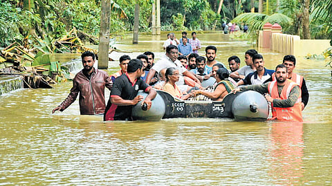

THIRUVANANTHAPURAM: In an effort to enhance flood preparedness and mitigate the impact of natural disasters, the Centre for Water Resources Development and Management (CWRDM) is gearing up to develop a comprehensive flood early warning system for selected rivers in the state. The CWRDM has already developed a flood warning system for Meenachil river in Kottayam and it is expected to be completed within the next three to six months.
By developing the flood forecasting system, CWRDM aims to provide timely alerts to local communities and enable disaster response agencies to take proactive steps to mitigate the impact of calamities. As the state becomes increasingly vulnerable to floods, the Kerala State Disaster Management Authority has recently tasked the CWRDM to develop flood early warning systems for five more rivers - Chalakudy, Chaliyar, Vamanapuram, Karamana and Neyyar.
KSDMA has sanctioned Rs 1.42 crore for the project under State Disaster Mitigation Fund (SDMF). The primary objectives of the project include the simulation of forecasted stream flow using advanced hydrological models, the development of flood risk maps, and floodplain zonation, and providing crucial inputs for formulating additional feasible mitigation measures.
Executive director of CWRDM Manoj P Samuel said the flood warning system for Meenachil river is in the final stages. “We will be able to roll out the raw version of the system within the next six months. We have developed the model and now we have to link the satellite map of the area with the system. The Cadastral map would be ideal as there will be survey numbers. The beta version will become up and running soon,” he told TNIE. The project for the Meenachil river basin is funded by the Kerala State Council for Science, Technology and Environment.
According to CWRDM officials, the same model can be used for other rivers, too. “Denmark is one of the countries with good water research and we have adopted their models for developing our own. We need to customise the model with local inputs including boundary conditions, land use, catchment areas, soil type and intensity of rainfall. Based on the amount of river discharge we will be able to provide the alerts on which all areas will be affected. The warnings will be disseminated to revenue and local authorities,” said Manoj.
Rain gauges and staff gauges have been deployed along the Meenachil river to get real data on the rain and water levels. “A community agency is actively involved in the project and it is key in other rivers also. Though KSDMA has district-level organisational set up, we need to strengthen them more and sensitise the communities and ensure their involvement,” he said.