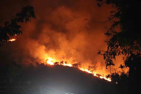
Odisha forest department to use Avenza Maps to fight against wildfires
BHUBANESWAR: The Forest department is planning to use Avenza Maps, a mobile application, to plan to position and monitor the fire lines in vulnerable areas in the ensuing forest fire season 2025.
Principal Chief Conservator of Forests (PCCF) and Head of Forest Force (HoFF) Debidutta Biswal said Avenza Maps was used by Paralakhemundi forest division in positioning and managing of fire lines in its division during the previous fire season. It has been planned to use the app in other forest and wildlife divisions from this year to minimise the impact of wildfire in the upcoming season.
Under the new technology, forest officials said the data of the fire lines drawn in the division on Google Earth will be exported to Avenza Maps. The frontline staff of the division will then use the app to track the fire lines and attach field photos. This will help the division to compare and correlate the field work of fire lines with the existing map for better planning, positioning and monitoring.
With around 12,000 to 13,000 km of fire lines being created and maintained in Odisha every year, Biswal said use of the application is expected to improve the efficacy of forest fire management in the state.
With the new forest fire season commencing from January 1, 2025, the PCCF said the divisional forest officers (DFOs) have been asked to submit fresh district fire prevention and management action plan by November 20. “A preliminary meeting in this regard has already been convened. Another round of meeting on the preparedness of forest officials at different levels will be conducted soon,” he said.
Biswal further said Odisha managed to contain the impact of forest fire to a significant level in the wildfire season 2024 with a response rage of 99.86 per cent compared to 98.93 per cent in 2023 and 91.62 per cent in 2022.
The state detected a total 22,868 fire points between January 1 and June 30 in 2024. However, the Forest department managed to respond to 22,837 fire points limiting the affected areas to 4,067 hectare. The area affected in forest fire was 8,414 hectare in 2022 and 9,550 hectare in 2023.
To minimise the impact of forest fire, sources said 590 very high frequency (VHF) stations have been created. Besides, 880 walkie-talkie units are in operation to strengthen communication network for monitoring protection activities.

