BHUBANESWAR: Delayed by a decade over alignment issues, the ambitious coastal highway project has hit another major hurdle, with land records missing in several villages in at least three coastal districts.
Sources said particulars of over 250 hectare of land across 53 villages in Puri, Jagatsinghpur and Kendrapara districts have not been provided to the National Highways Authority of India (NHAI), stalling further progress of the proposed 346-km highway.
Although four months have passed since the issue was initially flagged by the highway authorities and the state government directed the districts to provide the land details, non-availability of records prior to 1980 in the record room has further complicated the problem.
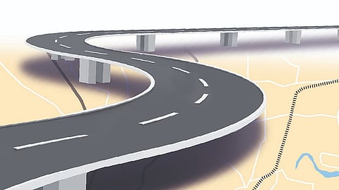
The four-lane access-controlled greenfield coastal highway will pass through Khurda, Puri, Jagatsinghpur, Kendrapara, Bhadrak, and Balasore districts. In the first phase, the highway will stretch about 163.2 km, from Rameswar on NH-16 in Khurda to Ratanpur in Kendrapara, covering 134 villages across four districts.
According to the preliminary survey, 768.82 hectare of land will be acquired for the highway which will be built with a 45-metre right of way (RoW) on a design, build, operate, and transfer (hybrid annuity) model. The acquisition includes 113.6 hectare of government land, 15.28 hectare of forest land, and 639.97 hectare of private land.
NHAI officials said non-availability of land records and land particulars in some villages has further delayed the process for submitting proposals for forest land diversion. “Old land records of 53 villages are not available in Gop, Erasama, Kujang, Mahakalapada, Pattamundai, Kakatpur and Brahmagiri tehsils. We need to verify that the non-forest land identified for the project was not forest land prior to 1980,” said an official. The revised alignment has addressed ecological concerns as the highway will skip the eco-sensitive areas in Chilika, Balukhand wildlife sanctuary and Bhitarkanika national park. But the biggest challenge now is land acquisition and forest clearances.
At a recent high-level meeting chaired by chief secretary Manoj Ahuja, the issue was taken up on priority. Acknowledging that the coastal highway is a critical infrastructure project under the Centre’s Purvodaya vision, Ahuja directed the Revenue department officials to resolve the matter at the earliest and ensure that project timelines are met.
Meanwhile, the NHAI has already floated tenders for the first phase work to be taken up on hybrid annuity mode in four packages at an estimated cost of Rs 7,040 crore. “But the missing land records have delayed the forest land diversion process. The tenders cannot be opened unless the statutory approvals including the forest clearance are received,” added the NHAI official.
