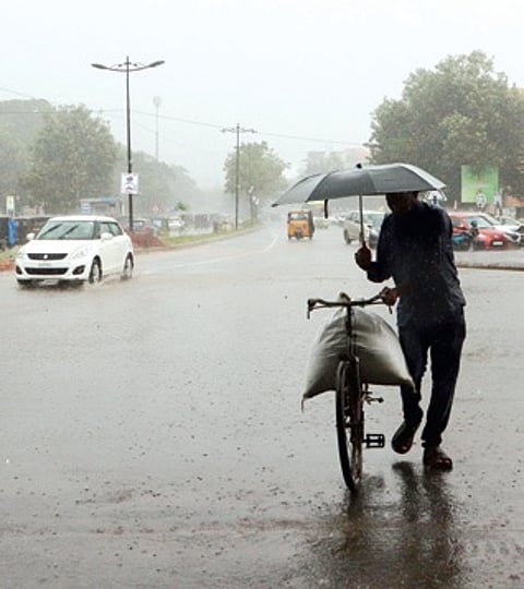

BHUBANESWAR : Monsoon stayed longer than usual in Odisha this year as the back-to-back weather systems over Bay of Bengal in the last four months triggered vigorous rainfall activity even beyond September.
While around 12 to 14 low pressure areas form on an average, this year saw formation of 16 weather systems, triggering widespread rains over the state. More so, even the monsoon’s withdrawal witnessed a delay due to a depression over the Bay of Bengal, which caused excessive rainfall in the beginning of October.
The system intensified into a deep depression and triggered extremely heavy rains over parts of the state. On October 2, M Rampur in Kalahandi district received the highest 350 mm rains, followed by R Udayagiri 290 mm, and Gumma in Gajapati and Junagarh 210 mm each.
Due to the widespread rains under the influence of the system, the state received 91.1 mm showers between October 1 and 9 against its normal of 48.1 mm during the period. The met office said 18 districts received large excess rainfall (+60 per cent and more) and 10 recorded excess rains. Only two districts - Deogarh and Ganjam received normal rainfall in the last nine days.
“Usually, the state witnesses widespread rains during the monsoon season under the influence of the low pressure areas. Many of these weather systems bring in significant amount of rainfall over the state,” said director of SOA’s Centre for Environment and Climate (CEC), Sarat Sahu.
This year, the state experienced vigorous rainfall activity on July 5, August 5, August 25, September 13 and September 24 under the influence of the low pressure areas. These weather systems formed at regular intervals and led to significant rainfall activity over the state between June 1 and September 30.
Six districts of Odisha recorded excess rainfall (+20 pc to +59 pc) this monsoon. They are Koraput (+28 pc), Keonjhar (+27 pc), Mayurbhanj (+25 pc), Jharsuguda and Deogarh (+21 pc each) and Sundargarh (+20 pc). Koraput received 1,586.1 mm rains between June 1 and September 30, Keonjhar 1,446.7 mm, Mayurbhanj 1,503.9 mm, Jharsuguda 1,434.5 mm, Deogarh 1,422.7 mm and Sundargarh 1,438 mm.
While 21 district received normal showers, only three districts recorded deficit rains (-20 pc to -59 pc) this monsoon season. Puri logged 28 pc deficit rains, Kalahandi 25 pc and Khurda 20 pc.
Director of Bhubaneswar Meteorological Centre Manorama Mohanty said, “Overall, Odisha received normal rains during the monsoon season. The state recorded 1,150.9 mm rains against its average of 1150.2 mm.” The monsoon is likely to retreat from some parts of Odisha in the next three to four days, she added.
Meanwhile, the met office said isolated places in the state may experience above normal night temperatures (1.6 degree Celsius to 3 degree C) till October 15. Night temperatures are likely to be near normal or slightly below normal over most parts of the country from October 16 to 22.
According to meteorologists, La Nina conditions might develop in the coming days and it will likely bring strong western disturbances. La Nina is usually associated with colder winters in the country. “Our models show a good probability of La Nina developing during October to December this year,” said an IMD official.
“As north India is likely to experience intense winters, Odisha may also witness chilly weather conditions. The flow of cold north-westerly winds towards the state is likely to be strong which could create favourable conditions for a prolonged and severe winter in the state,” said a weather expert.