CHENNAI: Tamil Nadu reeled under another day of intense monsoon activity on Monday as successive weather systems fired up across the Bay of Bengal and the Comorin Sea, delivering widespread heavy rain from Cuddalore through the Delta to the southern districts.
The northeast monsoon, which had slipped into deficit earlier this week, has now moved back into the positive zone after relentless downpours over the last four days.
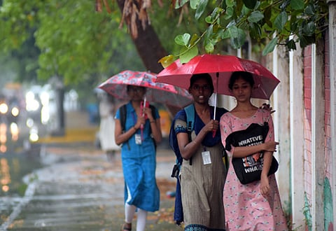
However, the north coastal districts, including Chennai, remain in deficit and may receive their major spell this weekend, with cyclone Senyar expected to move towards the neighbouring Andhra coast.
B Amudha, head of the Regional Meteorological Centre, Chennai, said: “Currently, multiple weather systems are interacting with each other in the open ocean, due to which constant weather changes are happening. A close vigil is maintained on the movement of the well-marked low-pressure area over Malaysia and the adjoining Strait of Malacca, which will concentrate into a depression over the South Andaman Sea and further intensify into a cyclonic storm over the South Bay of Bengal, moving west-northwestwards around November 26–27. There is another low-pressure area forming over the Comorin area by Tuesday. Their interaction with each other and movement is being closely watched,” she said.
The ongoing intense rainfall spell over south Tamil Nadu and the Delta districts has been triggered predominantly by the weather system in the Comorin area.

While the south and Delta are likely to continue receiving moderate to heavy showers, the peak of the activity is expected to shift to the north coastal Tamil Nadu from November 28, depending on the path cyclone Senyar allegedly takes.
For November 29, an orange alert has been issued for Mayiladuthurai, Cuddalore, Villupuram, Chengalpattu, Chennai, Kancheepuram, Tiruvallur districts and Puducherry. The region will remain the focus of the weather system until November 30, according to officials.
Rainfall recorded in the 24 hours ending 8.30 am on Monday shows staggering totals from the southern ranges, with Oothu (23 cm), Nalumukku (22 cm) and Kakkachi (21 cm) leading the chart. Several pockets in Cuddalore, Nagapattinam, Thanjavur and Tiruvarur also logged between 12 and 14 cm, wiping out weeks of deficit in the Delta districts.
Mahesh Palawat, vice-president of meteorology and climate change at Skymet, told TNIE that, in all probability, the cyclonic storm will move towards the south Andhra Pradesh coast, between Srikakulam and Visakhapatnam, based on the current reading of weather models.
“In that case, there will be heavy rains over the north coastal districts, but it may not be threatening spells,” he said.
However, weather blogger Pradeep John said the impending cyclone could be the last hope for the north coastal districts, particularly the KTCC belt (Kancheepuram–Tiruvallur–Chengalpattu–Chennai), which remains in large deficit.