HYDERABAD: In a major step towards protecting government assets and combating land encroachments, the Hyderabad Disaster Response and Asset Protection Agency (HYDRAA) announced that it would establish a dedicated police station next month.
This station will focus on safeguarding water bodies, government lands, open spaces, parks, roads, and nalas within the Outer Ring Road (ORR) limits. Additionally, the Disaster Response Force (DRF) teams will be expanded from 30 to 72, enabling their operations to extend up to the ORR starting January 2025. The agency also plans to launch a dedicated FM channel for weather forecasts and alerts, said HYDRAA Commissioner AV Ranganath.
Since its inception on July 19, HYDRAA has reclaimed approximately 200 acres of encroached government land. As part of its asset protection mission, it has taken action against encroachments on 12 water bodies, eight parks and four government lands. Moving forward, the agency plans to address unauthorised constructions in full tank levels (FTL), buffer zones, parks, nalas and other government properties. The reclaimed lakes will be developed into parks to benefit the community.
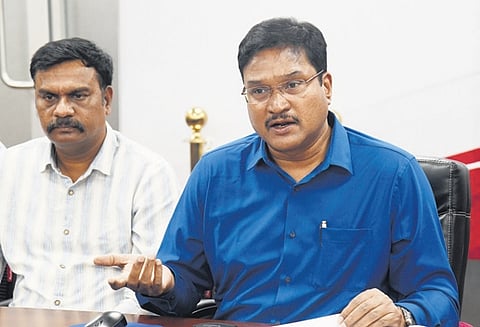
“People should not expect miracles from HYDRAA immediately,” Ranganath said during a press briefing on Saturday. “This is an ongoing process and will take time, especially to address issues like water-logging during the monsoon season. Visible results will emerge gradually and public patience is essential.”
Ranganath emphasised that HYDRAA’s efforts have raised awareness among the public about FTL, buffer zones and the dangers of illegal encroachments on water bodies. He also revealed that HYDRAA has requested the Director General of the Indian Meteorological Department (IMD) to establish an additional Doppler Weather Radar in Hyderabad for more accurate and uninterrupted weather forecasting.
A comprehensive survey of 1,025 water bodies in the region is underway, utilising Survey of India toposheets, cadastral maps, satellite images and drone imagery. The demarcation of FTLs for lakes and kuntas involves advanced tools like digital elevation models (DEM), digital terrain models (DTM), and bathymetric surveys.
To facilitate this, HYDRAA plans to sign a Memorandum of Understanding (MoU) with the National Remote Sensing Centre (NRSC) and collaborate with the Survey of India and other satellite agencies. This extensive mapping exercise is expected to be completed within four months.
From January 2025, HYDRAA will also introduce a “Grievance Day” every Monday, where citizens can lodge complaints about encroachments on lakes, parks, open spaces, and government lands.
