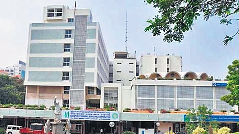

HYDERABAD: For close monitoring of urban planning-related activities in Telangana, the Municipal Administration and Urban Development (MAUD) has planned a web-based GIS portal for the establishment of GIS Hub in the Directorate of Town and Country Planning (DTCP) office, Hyderabad.
The master plan maps for all ULBs/UDAs are being prepared using GIS technology, which provides a digitised inventory of all the master plan areas with various analytical functions. The maps available in the master plan are land use zones, existing land use, circulation plan, utilities plan. However, with the advent of newer urban concepts and planning requirements, it has become pertinent to expand the purview of the GIS based maps to include more urban details to enhance the future of urban planning in Telangana.
Sources said that since 2014, Telangana has notified 73 new Urban Local Bodies (ULBs) and seven new Urban Development Authorities (UDAs) and there are a total 143 ULBs and 11 UDAs. Towns and cities continue to play a major role in Telangana’s emergence as an industrial and political power in India.
With 143 ULBs and 11 UDAs having a population of over 1.83 crore (i.e.) 48.5%, Telangana has urban infrastructure of gigantic magnitude. Occupying less than 4% of geographical area of the state, urban comprises 46% of its population while contributing to 66% of state’s economy.
Making urban data available on a shared platform, integrated with GIS-based maps would allow different departments under the MAUD to use the maps and data for decision-making and more scientific urban planning and also ensure maximum governance.
The establishment of GIS Hub will be taken up under AMRUT 2.0 scheme in the Office of DTCP for close monitoring of urban planning related activities in Telangana. The MAUD had invited tenders a few days ago. The agency selected based on the finalisation of bids has to develop the project in 18 months plus three years of maintenance.
The broad objectives of the envisaged GIS Hub include conduct QA/QC of existing dispersed geo-spatial data and unify them after filtering and retaining data that is consistent and accurate. Determine requirements for fresh tasking of data capture to complete the database as on data and to develop web-based GIS platform for publishing data for intra-departmental and inter-departmental coordination, and to the public, with necessary security and control.
The scope of work includes plan and design data hosting and sharing strategy that can help all the stakeholder departments to host data at local data centres and also to share and access data to GIS Hub as per the use cases.