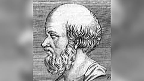
Long before Western Europeans set out on voyages of discovery, Eratosthenes of Cyrene had already deduced the correct circumference of the Earth, with accurate calculations about the planet’s physical features. The great Greek polymath, with acumen in mathematics, poetry, astronomy, and music, was born in 276 BCE in Cyrene, modern-day Libya, and studied at the local gymnasium. He traveled to Athens for higher studies, and blossomed his interests in stoicism and poetry.
He admired Plato, which led him to write his very first work at a scholarly level, ‘Platonikos’, inquiring into the mathematical foundation of Plato’s philosophies. He also wrote ‘Chronographies’, a text that scientifically depicted dates of importance, beginning with the Trojan War, followed by ‘Olympic Victors’, a chronology of winners of the Olympic Games. These achievements led King Ptolemy III Euergetes to make him a librarian at the Great Library of Alexandria in 245 BCE. Eratosthenes would live the rest of his life in this port city.
Eratosthenes made several important contributions to mathematics and science. But his greatest work is in Geography, a discipline he’s credited with creating, including its early theories and concepts. In this, the measurement of the Earth’s circumference is the most famous among the results obtained by Eratosthenes, who estimated that the meridian has a length of 252,000 stadia (39,060-40,320 km), with an error on the real value between −2.4% and +0.8% (assuming a value for the stadion between 155 and 160 metres). Eratosthenes described his arc measurement technique, in a book ‘On the Measure of the Earth’.
Using his discoveries and knowledge of the size and shape of the Earth, he began to sketch it. Using travel manuscripts at the Library of Alexandria, he pieced together an accurate map. In his three-volume ‘Geographika’, he described and mapped his entire known world, even dividing the Earth into five climate zones -- two freezing zones around the poles, two temperate zones, and a zone encompassing the equator and tropics. He placed grids of overlapping lines over the Earth’s surface, and used parallels and meridians to link together every place in the world.
It now became possible to estimate one’s distance from remote locations with this network on Earth. Geographika contained the names of over 400 cities and their locations, and also geographical terms still in use today. He was also the first to calculate Earth’s axial tilt. The ‘Father of Geography’ died in 194 BCE.
