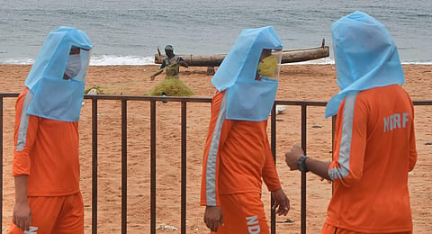
THIRUVANANTHAPURAM: Cyclone Burevi has weakened into a deep depression before reaching south Tamil Nadu and would turn into a low pressure area before reaching Kerala on Saturday.
According to the Indian Meteorological Department, the deep depression remained practically stationary during the past six hours and lay centred over the Gulf of Mannar close to the Ramanathapuram district coast, about 40 km southwest of Ramanathapuram, 70 km west-southwest of Pamban and 160 km northeast of Kanniyakumari on Friday.
The associated wind speed is about 50-60 kmph gusting to 70 kmph. The deep depression is likely to remain practically stationary over the same region and weaken into a depression during the next 12 hours.
Thereafter it will move slowly west-southwestwards across Ramanathapuram district towards south Kerala and weaken into a well marked low pressure area during the subsequent 24 hours.
In view of the weakened system, the IMD changed the orange alert issued in southern Kerala to a yellow alert, warning of isolated heavy rains due to the influence of low pressure.
