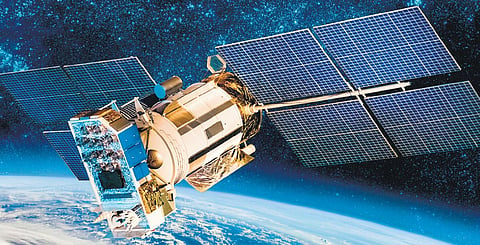

Remote sensing operations from space using satellite imageries is a huge boon to study different domains like agriculture, climatic changes, aerial mapping, weather prediction, disaster management, deforestation and monitoring change in land use, etc. However, the data collected by satellites is down-linked to earth-based stations for analysis before sending out the reports to the respective users. That can be time-consuming.
But all that is set to change, with much promise, among others, to the Indian Space Research Organisation, which has the largest constellation of remote sensing satellites in space. Researchers from the Department of Computer Science, University of Oxford, England, have trained a machine learning model on board an operational satellite to conduct the analysis itself and issue the ready, analysed data to ground-based stations, ready for operational reference — cutting precious time, besides providing more accurate information.
The researchers have trained the first machine learning programme to play its role from outer space for remote sensing purposes. The team used the ION-SCV 004 satellite, a cubesat deployer and a technology demonstrator developed by the Italian company, D-Orbit, and launched by NASA in January 2022. The researchers had successfully pitched their idea to the mission ‘Dashing Through The Stars’, which had called for proposals to try out new projects on board the satellite. On being cleared the University of Oxford team uplinked the machine learning code for the remote sensing application programme on to the satellite in the autumn of 2022.
The machine learning model that they developed — RaVAEn — was trained only to look for changes in cloud cover. They compressed large image files in ectors of 128 numbers. During the on-ground training, the model learned to keep the informative parts of cloud cover, but in the next phase it learned how to detect changes in cloud cover, which was done directly on board the satellite.
While machine learning models need several rounds of training using a cluster of linked computers, RaVAEn was able to complete the training on 1,300 images in just one-and-a-half seconds. Besides, the model was able to automatically detect whether a cloud was present or not in around a tenth of a second, which involved encoding and analysing a scene equivalent to an area of about 4.8 x 4.8 km2 area, equivalent to almost 450 football grounds.
Professor Andrew Markham, the project supervisor from the Department of Computer Science, University of Oxford, feels machine learning has a huge potential for improving remote sensing. He was cited on the university website as saying: “The ability to push as much intelligence as possible into satellites will make space-based sensing increasingly autonomous. This would help to overcome the issues with the inherent delays between acquisition and action by allowing the satellite to learn from data onboard. Vít’s work serves as an interesting proof-of-principle.”
The work was presented on July 21, 2023 at the International Geoscience and Remote Sensing Symposium (IGARSS) conference in Pasadena, California, USA.
The researchers now plan to develop more advanced models to automatically differentiate between conditions pertaining to likely flooding, defrestation, natural disasters, changes in leaf colours determining specific factors, among others. There is also a plan to develop more advanced models that are capable of handling much more complex data to even combat climate change and detection of leaks of harmful gases.
HOW THEY DID IT
WHAT IS THE NEXT PLAN